
Radnor Township ZIP Code Coverage
Radnor Township is served through several postal labels, not one municipal ZIP. The Township’s historic-resource survey documents Radnor examples using Wayne 19087, Villanova 19085, Bryn Mawr 19010, and Rosemont 19010 or 19073. Its official Township Building uses a Wayne 19087 address. Those are verified postal examples, not a declaration that every address under one ZIP lies in the Township. A useful ZIP code directory keeps the postal label separate from the parcel’s county municipality.
| ZIP code | Radnor postal example | Postal label | Verification note |
|---|---|---|---|
| 19087 | Township Building and central or western Radnor addresses | Wayne | Wayne is broader than a simple Radnor label. Confirm the parcel municipality. |
| 19085 | St. Davids and Villanova-side examples | Villanova | The survey includes Villanova 19085 examples; the ZIP does not define jurisdiction. |
| 19010 | Bryn Mawr and Rosemont-side examples | Bryn Mawr | A Bryn Mawr address identity can cross municipal and county geography. |
| 19073 | Rosemont historic-resource context | Rosemont | Verify the particular delivery address with USPS before relying on it. |
| 19072 | Possible St. Davids postal identity | St. Davids | No current authoritative all-Radnor delivery range was captured; verify an individual address. |
There is no research-supported per-ZIP population or registration count, and no confirmed ZIP split or realignment year. The Census QuickFacts listing for Radnor Township identifies the Township as a whole, not as a way to assign people to its postal ZIPs.
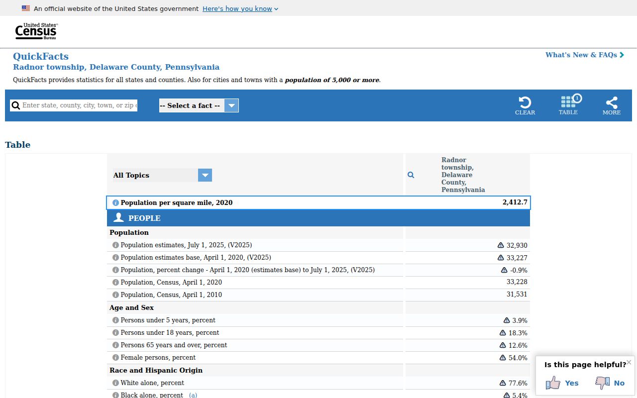
Use a Township-wide count only as broad context. It cannot tell which residents receive mail through a given post office or which ZIP applies to a particular parcel.
Radnor Township ZIP Code Names
Postal names and local history explain why a ZIP-only search produces false matches. An older Township handbook lists Wayne, St. Davids, Villanova, Ithan, Rosemont, and Garrett Hill as post-office labels used by residents. These names are useful search vocabulary for an old directory, map, or telephone listing, but they are not municipal-boundary labels. A Radnor parcel may carry a Wayne, Villanova, Bryn Mawr, or Rosemont mailing name, while an address with one of those labels can also lie elsewhere.
This is a local records-geography issue. William Penn’s initial Radnor parcels were laid out in an elongated rectangle. Later transportation and development changed road and settlement names. A 1717 trail became Old Lancaster Road and then Conestoga Road. Cleaver’s Landing and Louella developed into Wayne, Radnorville became Ithan, and Garretville became Garrett Hill. For historical research, record the old community name, cross street, parcel, or legal description instead of forcing a modern ZIP into an older record.
Confirming a Radnor Township ZIP Code
USPS is the delivery check. Enter the complete standardized street address in its interactive tool and save the returned mailing city and ZIP exactly as shown. That result confirms how mail is addressed. It does not establish that the address is inside Radnor Township, Delaware County, a school district, or an election district. The county parcel system supplies the safer municipal and property identity check.
The USPS ZIP Code Lookup is the official address-to-ZIP route.
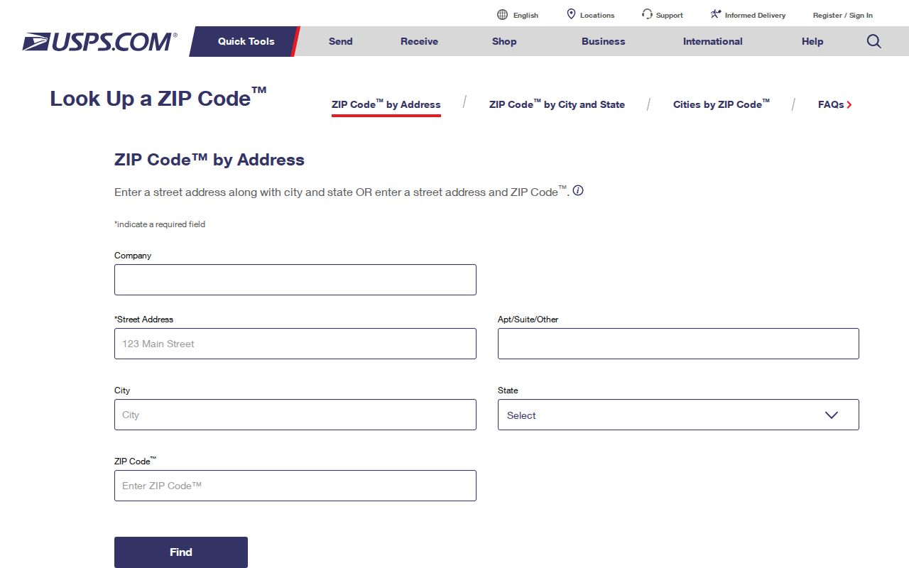
The tool is interactive, so a static Radnor result was not used to claim a universal ZIP range. Check each complete address at the time of the search.
Radnor Township ZIP Code Search Route
A ZIP code narrows a known address. It does not create a countywide resident list. The reliable sequence changes the postal clue into a county-record object. Delco’s Real Estate/Tax System offers address, parcel, advanced, and map routes, but the research did not confirm a ZIP filter there. Recorder Cloud Search supports municipality in its captured advanced controls, not a ZIP field. Use the ZIP to verify a delivery address, then use the address, parcel ID, municipality, and legal description in the county systems.
- Confirm the complete delivery address and ZIP in USPS, without treating the postal city as jurisdiction proof.
- Search the identical address in the Delaware County Real Estate/Tax System and record the Parcel ID and municipality or situs shown.
- Use the Parcel ID, legal description, municipality, party name, and date as applicable in Recorder Cloud Search for recorded land material.
- For a historic occupant clue, change the search wording to the period community name, such as Wayne, St. Davids, Louella, Ithan, or Garrett Hill.
Once a ZIP result has narrowed to one street, the address-specific record chain belongs on the Radnor Township Street Directory. A ZIP code directory should not replace that parcel-by-parcel work.
Radnor Township ZIP Code Court Fields
The official screen with a verified ZIP-aware control is Pennsylvania UJS Case Search. Its property-related criteria visibly include Parcel ZIP Code with parcel address, city, state, county, and municipality. This is a property-related court filter, not a people directory and not an assessor ZIP search. Choose the search mode first, because the available controls vary by mode and court selection.
| UJS property criterion | Form type | Research-supported use |
|---|---|---|
| Parcel number | Text | Optional property-related filter. |
| Address, city, and state | Text | Optional location criteria. |
| Parcel ZIP code | Text | Optional postal element of the property criteria. |
| County and municipality | Dropdown | Optional jurisdiction controls. |
Use the court result only to examine an eligible public case. The search does not show all court material, and its public dockets are not a substitute for an official criminal-history record.
Radnor Township ZIP Code Voter Limits
Pennsylvania’s online individual registration-status route is for a voter to check that person’s status. It is not a public ZIP browse. Delaware County Voter Registration maintains registration records, status inquiries, and voter history. Broader public-information and street-list access is controlled by the Election Code, including identification and written certification requirements. Postal ZIPs and election geography are different systems, so a ZIP should not be used to infer a precinct or a list of residents.
The Delaware County Voter Registration office is the county contact route.
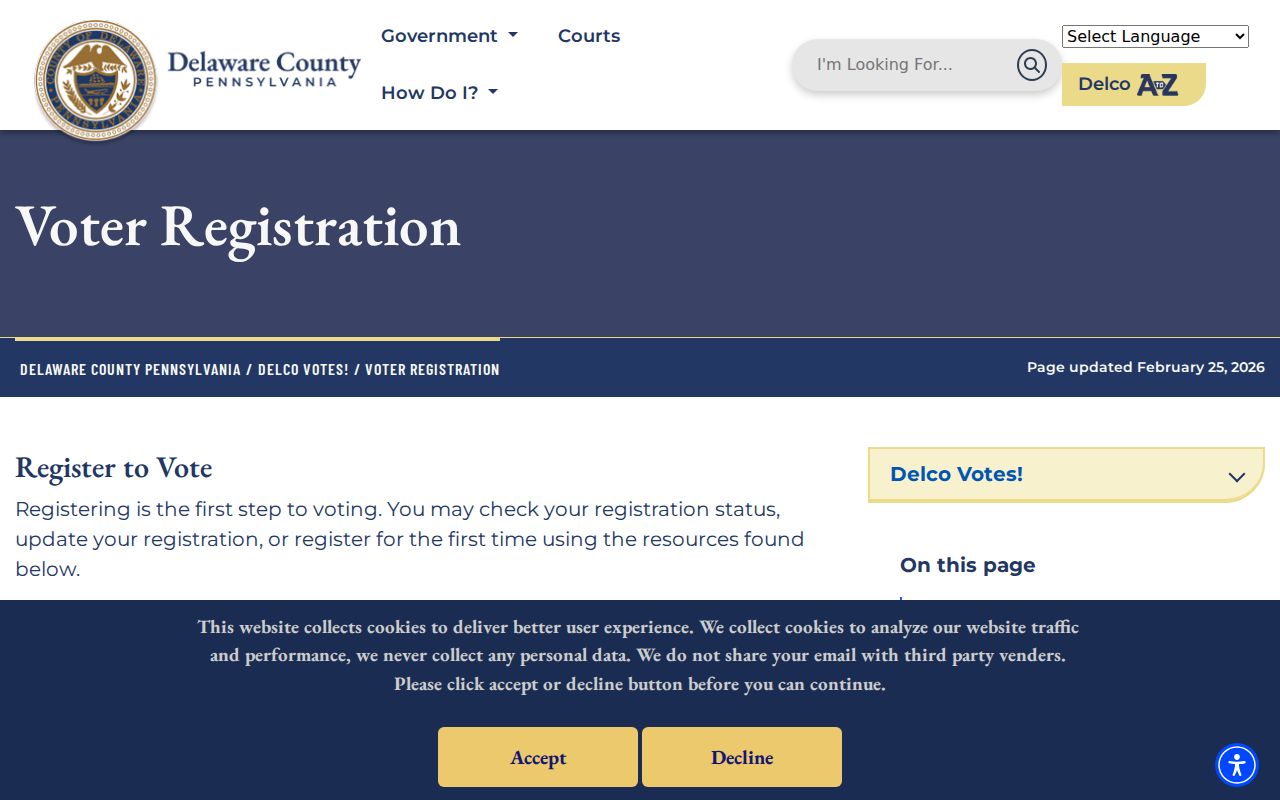
The county counter is at the Government Center Building, C/O Voter Registration, 201 W. Front Street, Media, PA 19063-2728. Its listed telephone number is 610-891-4659, with hours of 8:30 a.m. to 4:30 p.m.
Radnor Township ZIP Code Parcel Keys
County records use property identifiers that are more stable than a postal label. Record each item exactly as it appears when available, then carry it into the next search. The Parcel ID connects the assessment route to mapping and recorded documents. A legal description can preserve the land identity through a street-name or postal-name change. These details are particularly important when older Radnor materials use an estate, community, road, or post-office name rather than a current number and ZIP code.
Delaware County directs property-map and data questions to its Office of Data and Mapping Innovation, while the Board of Assessments maintains and disseminates parcel information. The public mapping route is useful for visually checking parcel boundaries after an address or Parcel ID is known. Its static research capture did not verify a particular buffer control, layer list, owner pop-up, or ZIP feature. Open the authorized map, inspect the parcel and surrounding boundaries, and then search each actual address or Parcel ID through the assessment and Recorder routes instead of assuming a map label identifies a resident.
- ZIP versus ZIP+4
- A ZIP identifies a broader delivery area. ZIP+4 adds a more precise delivery segment and does not establish municipal jurisdiction.
- PO-box ZIP
- A ZIP used for post-office boxes. It describes mail delivery, not a physical property location.
- Unique ZIP
- A ZIP assigned for a specific delivery purpose or organization. It should not be assumed for Radnor without USPS confirmation.
- Carrier route
- A mail-delivery grouping used by postal operations. It is not a parcel, voter, or municipal-boundary layer.
- Situs and legal description
- Situs is the physical property location. A legal description is the recorded land identity that can survive postal or street-name changes.
Radnor Township Historic Postal Names
Historical sources need historical place names. The 1899 and 1904 Directory and Blue Book of Wayne and St. Davids, circa-1907 Delaware & Atlantic telephone listings, historic maps, and Radnor Historical Society street and estate files can supply a period clue. A person or address that is hard to locate under “Radnor Township” may be cataloged under Wayne, St. Davids, Villanova, Ithan, Garrett Hill, Rosemont, or Bryn Mawr instead.
Before ZIP codes existed, a postal suffix had no value. Use a map, cross street, parcel, subdivision, or legal description to bridge the old name to the current property. Research found no authoritative Township-wide street-renumbering project or date, so a missing modern number should be investigated as a place-name change rather than assigned an invented renumbering explanation.
Radnor Township ZIP Code Boundaries
ZIP boundaries and Township limits answer different questions. A 19010, 19085, or 19087 search can return addresses outside Radnor Township. Conversely, a Radnor parcel can use a Wayne, Villanova, Bryn Mawr, or Rosemont label. USPS checks delivery. The Board of Assessments verifies the parcel and municipality. Recorder Cloud Search verifies recorded-document connections. Separating those tasks avoids treating a familiar postal city as a government boundary.
Postal check first. Confirm the full address through USPS, then rely on the Parcel ID and county municipality for a Radnor Township records question.
No general local utility-customer or code-case people search was found in the official sources. Township construction and permit material is address-keyed through a targeted record request, with privacy and redaction limits. That boundary should be respected rather than filled with assumptions about who receives service at an address.