
Radnor Previous Residents by Era
A backward address trail combines sources that answer different questions. Recorder documents can establish successive recorded interests. A directory or telephone listing can place a name or business at a printed address in a particular year. Census material is a released, date-specific household snapshot. Historical maps and Society files supply context when a modern address does not appear in old wording. None of those sources alone proves a full, uninterrupted list of previous residents. Keep the date and type of connection beside every result.
| Source | Years it covers | Where held or accessed | What it can establish |
|---|---|---|---|
| Delaware County Recorder land records | Holdings from 1789; online copies 1799-present | Cloud Search, Online Records, or Recorder Room 108 | Recorded parties, title chronology, plans, and legal descriptions. |
| Wayne and St. Davids Directory and Blue Book | 1899 and 1904 | Radnor Historical Society identified collection | Dated resident or business name and address relationship. |
| Delaware & Atlantic Telephone Listings | Circa 1907 | Historical Society Bulletin reference | A subscriber and address clue after original inspection. |
| Street, Estate, and Genealogy files | About 1860-2014 overall file dates | Radnor Historical Society and its UPenn finding aid | Clippings, maps, photos, and family or street background. |
| Federal census | Released census years under the 72-year rule | National Archives routes and PHMC guidance | Household details as recorded for that enumeration. |
| Historic maps and atlases | Documented series from 1848 through 1908 | Local historical resources and the Society | Street, building, land-use, and place-name context. |
| Township permits | Online historical coverage not located | Community Development or a targeted RTKL request | Construction, alteration, inspection, or approval chronology. |
| Probate and related research | Access varies by record and period | Register of Wills, library, Society, and archival sources | An estate or relationship lead, not an address list. |
Start with the source closest to the date in question. A deed chain is the strongest spine for ownership, while a period directory or census is the better household check.
Radnor Previous Residents Parcel Start
Begin with the verified current address in the Delaware County Real Estate/Tax System. The public route offers address, parcel, advanced, and map choices, but the county removed name searching and property photographs for privacy. Record the Parcel ID and the exact situs wording shown by the live result. That identifier is the bridge from an address to the Recorder's document index. A postal label alone is not enough because Radnor Township addresses can use several community names.
The assessment route supplies parcel and tax context. It does not promise a complete occupancy history. If a live card shows a mailing address distinct from the situs, treat it as a delivery address, not proof that a recorded party lives at the property. For a public map or parcel-data question, Delaware County directs users to its Data & Mapping Innovation route and Board of Assessments contacts. Work one parcel at a time and retain the current address separately from the historic legal description.
Radnor Previous Residents Deed Chain
The Recorder's Cloud Search is the backward title layer. Search the current party as a grantee, narrow by recorded date, municipality, document type, or other visible fields, and compare the Parcel ID and legal description. A grantor is the party conveying an interest. A grantee is the party receiving it. The seller named in a purchase deed becomes the next person to search as a grantee in an earlier period. The continuity test is the land description, lot, subdivision, book and page, or parcel relationship, not a matching surname alone.
- Verify the current address and Parcel ID through the county property route, preserving the exact situs wording.
- Open Recorder Cloud Search and search the relevant party, then use the document and date filters visible on the form.
- Read the purchase instrument and copy its document number, recorded date, party roles, book or page when shown, and legal description.
- Search the seller as a grantee in an earlier period, checking that the parcel or land description points to the same property.
- Repeat the sequence backward, marking each source date and every interval where no matching record has been confirmed.
- Grantor
- The party shown as conveying a recorded interest in a document.
- Grantee
- The party shown as receiving the recorded interest.
- Chain of title
- A sequence of recorded transfers connected by the same parcel or legal description.
- Legal description
- The lot, subdivision, acreage, metes-and-bounds, or other land wording that helps match old documents to one property.
Recorder Property Alert information shows the county's free email-notification service for documents recorded using a Property ID.
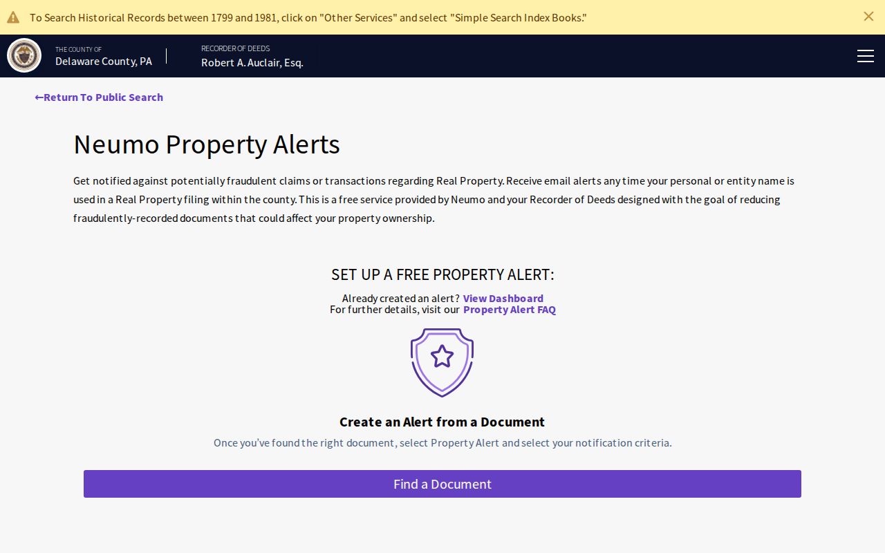
Property Alert is a fraud-notification tool and does not guarantee detection or accuracy, so it cannot replace a review of the recorded document trail.
Radnor Previous Residents Online Cutoff
Delaware County says Recorder holdings date from 1789 and online copies reach 1799 to the present. That distinction matters when the deed chain moves into the eighteenth century. A record that falls outside the online-copy range should lead to the Recorder counter, its physical books or indexes, and archival repositories, not to a claim that no record exists. The Recorder is in Government Center Room 108, 201 West Front Street, Media, with office hours listed as 8:30 a.m. to 4:30 p.m. and recording hours to 3:30 p.m.
The Recorder's records overview lists online copies at $0.50 per page and office copies at $1 per page. Cloud Search also offers electronic certified copies. A certified copy is a different product from a screen reference, so choose it only when the task calls for that formal record. Older scans and OCR can be imperfect. Prefer the party and index fields before relying on a full-text match.
Note: A missing online image marks an access change, not proof that the land or its earlier occupants had no history.
Radnor Past Residents Between Deeds
Deeds document recorded interests, while the household layer comes from dated local materials. The 1899 and 1904 Directory and Blue Book of Wayne and St. Davids can connect a resident or business name with an address in those named communities. The circa-1907 telephone-listing reference may add a subscriber clue after the original is inspected. Released federal census material then provides a household snapshot for its own enumeration date. Those sources need to be compared rather than blended into one unstated span of residence.
The historical collections themselves are described on the Radnor Township city directory page. For one address, copy the directory title, year, printed community label, spelling, initials, and address. Then compare the evidence with the legal description in the relevant deed. A listed business or telephone subscriber may be useful, but it may not name every person who lived there.
- Place each deed transfer on a timeline using the recorded date and legal-description match.
- Insert only the verified 1899, 1904, or circa-1907 directory and telephone clues that fit the address or party evidence.
- Pair a directory clue with the appropriate released census and retain that census year as a snapshot date.
- Use the Historical Society Street, Estate, or Genealogy files to investigate a name, street, or development context.
- Mark unrepresented years as gaps instead of converting a short run of evidence into a residence claim.
Radnor Previous Residents Map Bridge
Radnor's name and address changes are a central history problem. Records can appear under Wayne, St. Davids, Villanova, Ithan or Radnorville, Garrett Hill or Garretville, Rosemont, or Bryn Mawr. Township history identifies Radnorville as later Ithan and explains that Cleaver's Landing developed into Wayne after the Louella and Anthony Wayne period. There is no confirmed Township-wide street-renumbering year in the research. Use historic name variants, intersections, estate names, road alignment, lot or subdivision wording, and maps instead of guessing a modern number.
The documented map sequence includes Ash in 1848, Barnes in 1868, atlases in 1870 and 1875, Pennsylvania Railroad material in 1881, Radnor and Wayne maps in 1892, and Baist material in 1902 and 1908. The Historical Society's street and estate files, manuscripts, and Historic Resource Survey can help bridge an older road or property name. They provide context. The Recorder document or dated household source remains the check for a particular prior connection.
Radnor Previous Residents Estate Endpoints
Probate and marriage materials can close or clarify a family trail, but neither is an address directory. The Delaware County Register of Wills & Clerk of Orphans' Court offers a free guest path: choose Login as Guest, then Search Public Records, then Case Names for probated estates or Marriage Names for marriage-record existence. The public search does not display images. An online copy order, public-access kiosk, counter, or the appropriate records channel is the next step when a permitted copy is needed.
The Register of Wills online-service instructions show the guest-search and order route.
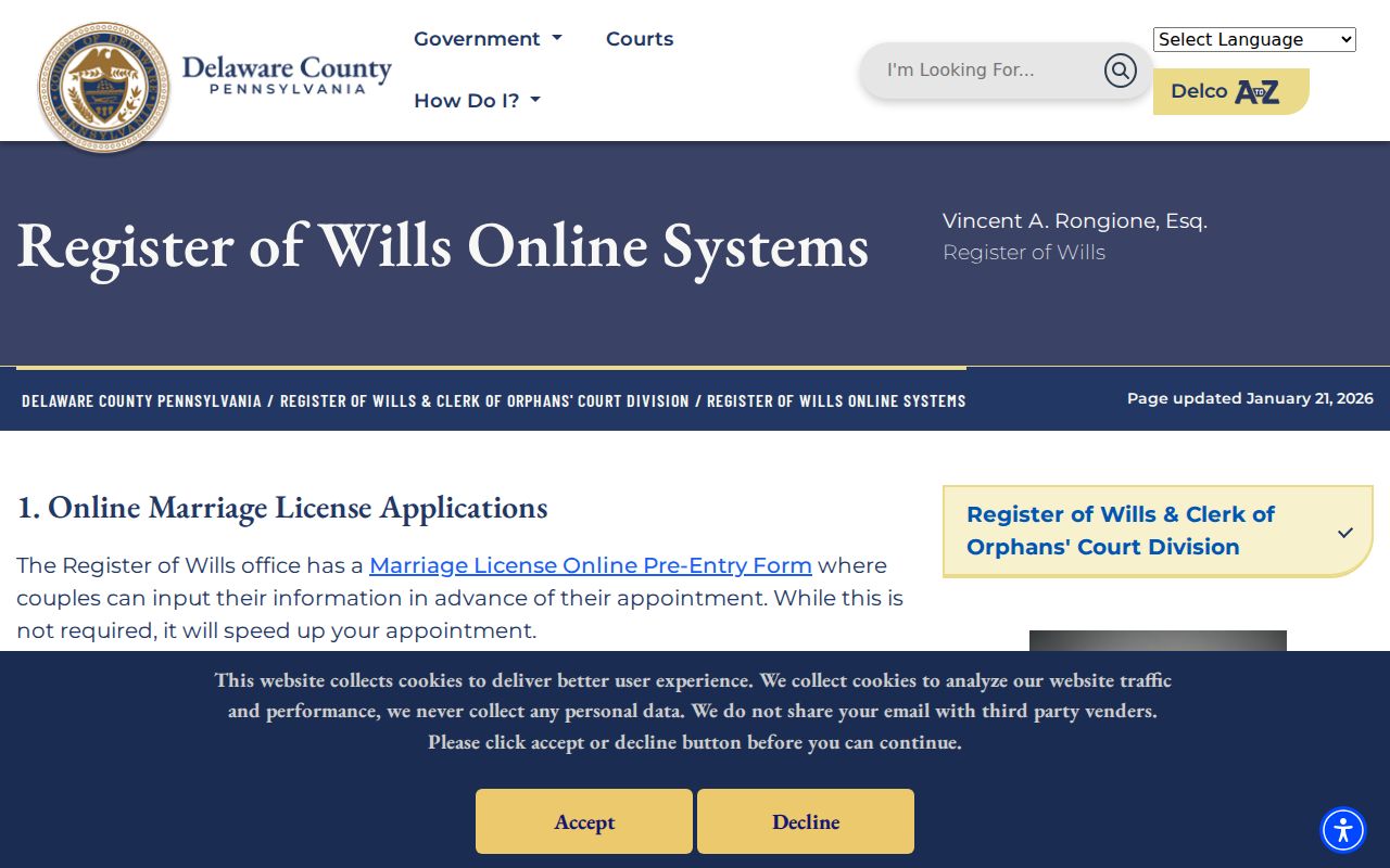
A free result confirms that a marriage or probate record exists. It does not display the image or establish that a person stayed at a Radnor address.
The Delaware County Register of Wills and Orphans' Court page is the county office route for marriage, probate, and Orphans' Court functions.
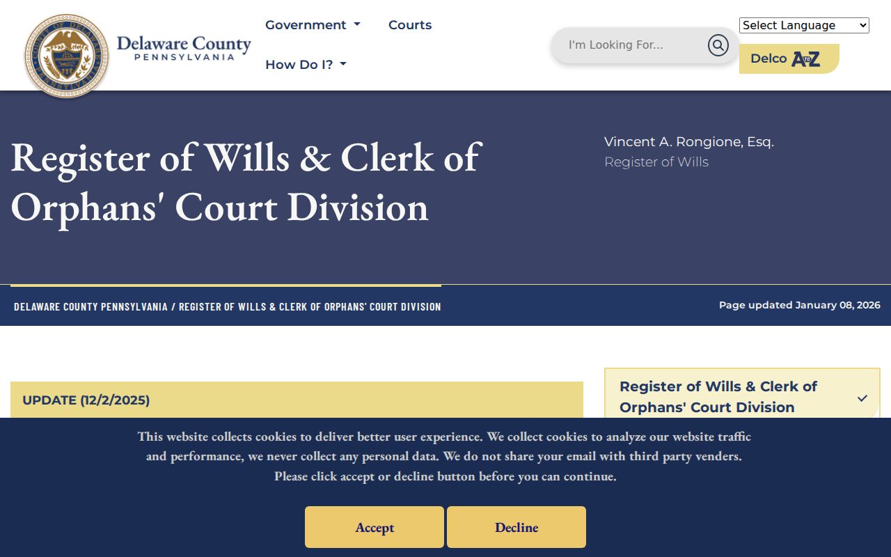
The office separates record existence from document images, an important boundary when using an estate item as a later relationship lead.
Radnor Previous Residents Confidence Notes
A verified deed chain can establish successive recorded interests. It does not automatically identify residents. A 1904 directory or 1907 telephone listing can support a dated listed connection, but it may describe a business or subscriber rather than a full household. A census records one enumeration date, and an estate file can point to a later relationship. Record the source type, year, and exact connection beside every name. That simple discipline keeps a house history honest.
Delaware County's marriage information is useful when a name change or spouse relationship needs confirmation through the proper county route. A marriage record belongs to the county where the license was applied for, not necessarily the place where a couple lived or held a ceremony.
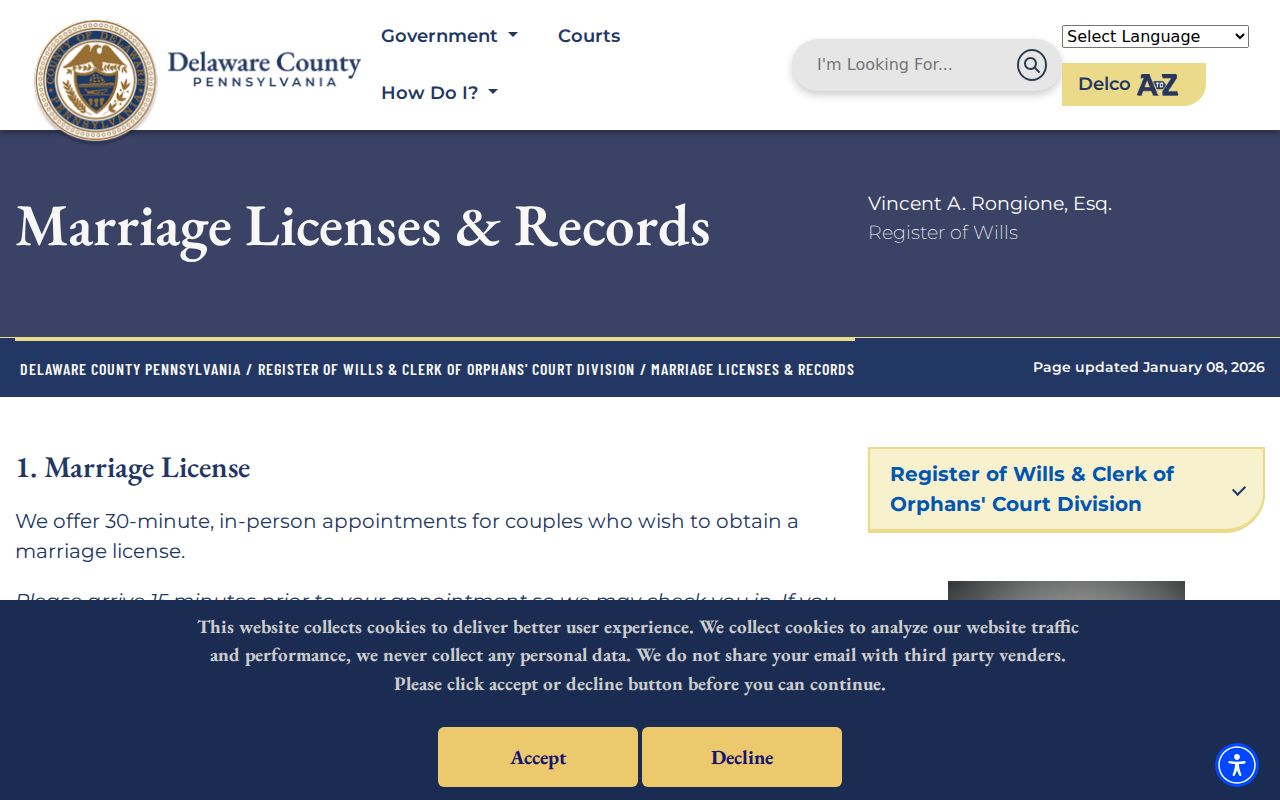
The documented copy options are $2 for a plain emailed PDF, $25 for a certified mailed copy, and $30 for an exemplified mailed copy, with the county's stated processing estimates.
Lawful use. Use Radnor address history for family research, estate questions, property history, or personal curiosity. Do not use a record trail to stalk, harass, or harm any living person.
Note: Treat a source gap as unknown, and ask the custodian or repository for help rather than turning a plausible connection into a fact.